

FEBRUARY 2026
How well do you know your historic sites?! Each month a different photo of a historic site is featured here. Photos and Clues are typically provided by GTC members.
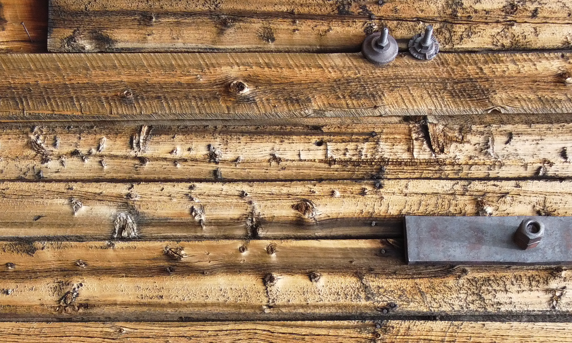
Photo credit: GTC member Ron Runoff

CLUES
![]() This photo is from 1975 when I used to camp in the area for elk hunting
This photo is from 1975 when I used to camp in the area for elk hunting
![]() The town was established in 1879 for nearby silver mining and named for a Colorado politician whose name is also on a well-known hotel.
The town was established in 1879 for nearby silver mining and named for a Colorado politician whose name is also on a well-known hotel.
![]() It’s located at 9200 ft elevation, 6 miles due west of a well-known mountain range whose 12,000 ft peaks are named after cloud formations.
It’s located at 9200 ft elevation, 6 miles due west of a well-known mountain range whose 12,000 ft peaks are named after cloud formations.
![]() It once had a population of 1300 and a large hotel, but died away by the 1890s. It had a post office from 1880-1885
It once had a population of 1300 and a large hotel, but died away by the 1890s. It had a post office from 1880-1885
![]() Since I was there, the forest went to beetle kill, then was clear cut in 1990s when USFS did a “Passport in Time” project with informative signs, interpretive trails and a newly built log cabin of the type the town once had. Many of the fallen log cabins are still there to see today.
Since I was there, the forest went to beetle kill, then was clear cut in 1990s when USFS did a “Passport in Time” project with informative signs, interpretive trails and a newly built log cabin of the type the town once had. Many of the fallen log cabins are still there to see today.
Can you identify the mystery photo!? Please send us your guess using the form below!


LAST MYSTERY PHOTO
Correctly identified as “Tippler” by Ron Runoff. Photo credit: GTC member Jason Messing

The drone images above capture the upper tram and headframe of the South London Mine—aka American Flats—in Lake County, CO. Photographed by Jason Messing in August 2023, the images focus on the structure where a mysterious piece of mining equipment is located. Look closely at the top platform of the headframe, shown in greater detail in the images on the right. Your clue is the following riddle:
I sit where iron tracks meet their end,
A heavy frame, old timber my friend.
Carts bring me rocks from the dark below,
I tip them gently so down they go.
No wheels of my own, yet I help them fly,
Gravity does the work while I stand by.
What am I?
ANSWER: The mine equipment shown here went by several names; “Ore Cart Dump”, “End Dump”, “Tippler” (British). This style of dump constructed of cast iron and heavy timber was typical of the hard-rock gold and silver mines of the late 1800’s to early 1900’s (pre WWI). It typically measured about 2’x4′ and was embedded into an elevated platform, allowing miners to utilize gravity. Ore carts travelled along rails from the mine to this exact point. Upon arrival, the front axle would contact the iron stop/trigger at the end and could then be manually tipped forward by one, usually two miners- effectively dumping ore through the opening into a chute. The smaller size of these cart’s could handle a max load of 2 tons, but on average were more likely handling around 3/4 to 1 ton.
In the case of the South London Mine, this would dump directly into a grizzly (a large classifier) through which smaller ore would pass and deposit into an ore bin. Directly adjacent on ground level was the aerial tram and buckets, which allowed miners to easily load ore buckets so that they may be sent to the lower buildings for further processing. -Jason Messing
PREVIOUS MYSTERY PHOTO
Correctly identified as “Geneva” by Jason Messing. Photo credit: GTC member Ron Ruhoff

![]() This mining camp was located at 11,700 feet , under the Continental Divide ridge, in the SW portion of a Colorado county well-known for mining history.
This mining camp was located at 11,700 feet , under the Continental Divide ridge, in the SW portion of a Colorado county well-known for mining history.
![]() Several structures remain, plus an old International truck.
Several structures remain, plus an old International truck.
![]() Very little reference to this town is found in all the well-known ghost town books.
Very little reference to this town is found in all the well-known ghost town books.
![]() A ski area with the same name operated near here in the 1960s through the 1980s.
A ski area with the same name operated near here in the 1960s through the 1980s.
Answer: “I first went up there in 1968 with Ken Barrow. We drove to the end of the road and climbed Santa Fe Peak. I didnt get pictures of the buildings there that day–wonder why. I was next there on my Continental Divide hike, when we used that Sill Mine site for our drop off the divide and met our drivers there. Reference in my Colorado’s Continental Divide book. Perry Eberhardt mentions Geneva Gulch as having a store and boarding house, above timberline, so I assume he refers to the Sill Mine site, now known as “Geneva” or “Geneva Gulch” by some. There were many years when driving up there was closed off by the private property of the Geneva Ski Area. It was finally open again in the 1990s and I went up there with Ron Morse in 2005, when I took the photos we used here. The Sill Mine was a goldmine and the major mining operation up there. That’s about all I can find.” -Ron Ruhoff
PREVIOUS MYSTERY PHOTO
Correctly identified as “Tarryall” by Ron Ruhoff. Photo credit: GTC member Bill Lettow

![]() Here are the remains of a commercial building on a road that has nearly disappeared under native grasses.
Here are the remains of a commercial building on a road that has nearly disappeared under native grasses.
![]() This town started with one name and then 4 years later changed its name to be the same as a Colorado town that left its mark on the whole area but had been abandoned for 20 years.
This town started with one name and then 4 years later changed its name to be the same as a Colorado town that left its mark on the whole area but had been abandoned for 20 years.
![]() Although a thousand people lived in this new town at one time, the mines did not live up to expectations, and most of the people cleared out fast, but a structure standing there is on the National Register of Historic Places.
Although a thousand people lived in this new town at one time, the mines did not live up to expectations, and most of the people cleared out fast, but a structure standing there is on the National Register of Historic Places.
![]() The adopted town name was a made-up word that did not reflect how people felt about the original town.
The adopted town name was a made-up word that did not reflect how people felt about the original town.
Answer: Tarryall is well known as a very early mining settlement in South Park, one of the first, in 1859. Excitement about the new discoveries had hopefuls pouring in, and there may have been several thousand there at one time. But although the name suggested people should “tarry” there, many found the diggings had been “hogged up” by the pioneers; so they then moved on to found “Fairplay”, where the bad reputation of Tarryall was loudly disseminated and entered into the lore of the region.
The original Tarryall was deserted early, but 20 years later a new town sprang up 30 miles south of the old one. It was named Puma City, but in the 1900s, it was changed to Tarryall for reasons unknown or just to capitalize on a famous name. You can find it in Park County, on County Road 72. It’s just a sign, this old building, a few houses, an old church and a bend in the road. -Bill Lettow
